

Talk to an engineer

Digital Twins

A living model of your most critical operations.

Virtual replicas kept in sync by live telemetry, so you can predict failures, test decisions and plan change before touching the real thing.

Drag to look around

Illustrative model with sample values, not a customer site

What we build

Three levels of digital twin.

Asset twins

Virtual replicas of equipment, aircraft, machinery and infrastructure.

Process twins

Production lines, supply chains and operational workflows.

System twins

Facility-, network- and city-scale simulations.

How it works

From live data to better decisions.

Deployable on-premise, hybrid or in the cloud, using an open-source stack.

  1. 01

    Sense

    Real-time IoT sensor integration and streaming telemetry.

  2. 02

    Connect

    Integration with SCADA, PLM, ERP and BMS systems.

  3. 03

    Model

    3D visualisation of the asset or system, with optional AR/VR interfaces.

  4. 04

    Predict

    AI/ML-driven predictive maintenance and anomaly detection.

  5. 05

    Simulate

    Predictive simulation, what-if analysis and scenario planning.

Airports

One live model of terminal, stands, apron, baggage and airfield, built from BIM and GIS and kept current by the systems airport teams already rely on.

What it models

  • Terminals, levels and passenger density
  • Stands, gates and passenger boarding bridges
  • Apron, ground support equipment and staff
  • Baggage halls and conveyors
  • Runways, taxiways and utilities

Decisions it supports

  • Simulate flight delays, lane closures and equipment failures, and compare the ways to respond
  • Replay any incident with aircraft, passengers, bags and alarms in sync
  • Predict failures on escalators, bridges and conveyors, and book the work into quiet windows
  • Test runway inspection and FOD response against AMAN and DMAN capacity

What it connects to

AODBA-CDMFIDSBaggage handling systemsBuilding automationCMMSJetScope PBB analyticsAeroTrack trackingFODD runway detectionFBLB baggage monitoring
Metros & Railways

A live model of the network, covering stations, track, rolling stock, traction power and signalling, kept current by the systems that already run the railway.

What it models

  • Stations, concourses, lifts and escalators
  • Track, viaducts, tunnels and depots
  • Rolling stock and traction power
  • Signalling and telecom assets
  • Passenger flow across the network

Decisions it supports

  • Test timetable and headway changes against crowding before they go live
  • Rehearse disruption and evacuation scenarios
  • Predict failures on trains, lifts, escalators and power assets
  • Plan maintenance windows with the least service impact

What it connects to

SCADABMSTrain control dataFare gate dataNetra video searchAeroTrack trackingIoT sensors

SeaPorts

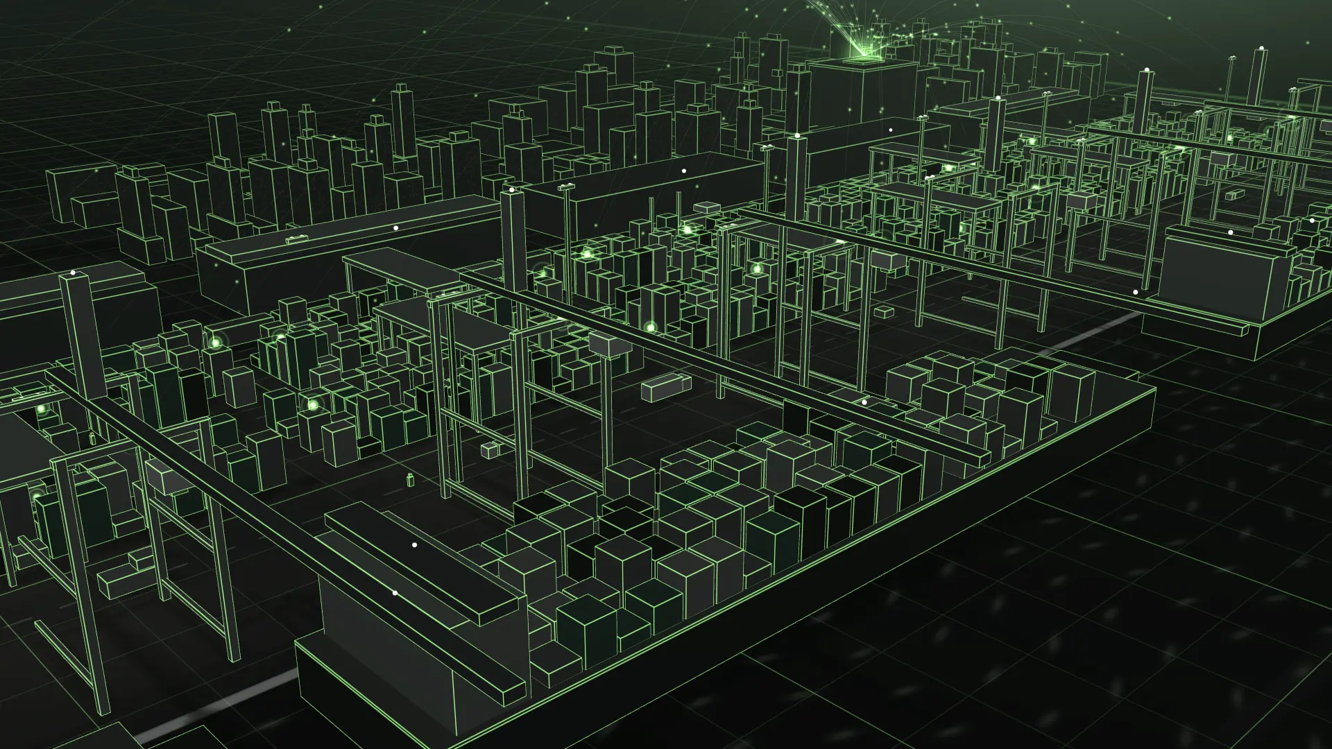
Berths, cranes, yards and gates modelled together, so planners can see the knock-on effect of a late vessel before it reaches the quay.

What it models

  • Berths, quays and channels
  • Quay cranes, reach stackers and yard equipment
  • Container yard and gate flows
  • Vessel movements
  • Tide and weather conditions

Decisions it supports

  • Compare berth plans against expected vessel arrivals
  • Spot yard and gate congestion early
  • Predict failures on cranes and handling equipment
  • Evaluate layout and expansion options before committing capital

What it connects to

Terminal operating systemAIS vessel dataCrane and PLC telemetrySCADAAeroTrack trackingGate cameras

GIS & BIM Buildings

BIM gives you the detail inside the building. GIS gives you the world around it. We join the two with live building data to create campus-, corridor- and city-scale twins.

What it models

  • BIM models of structure, MEP and spaces
  • GIS layers for terrain, utilities and land use
  • Building systems such as HVAC, lifts, fire and security
  • Occupancy and environmental sensors
  • Survey data from drones and LiDAR

Decisions it supports

  • Tune energy use and comfort with live BMS data
  • Locate any asset in 3D and open its maintenance history
  • Test retrofits, space changes and emergency routes
  • Ask your maps questions in plain English with AgenticGIS

What it connects to

BMSBIM models (IFC)GIS dataERP and maintenance systemsIoT sensorsDrone and LiDAR surveys

Drone Swarms

Rehearse multi-drone missions in simulation first. A swarm twin models the aircraft, the airspace and the radio links, so coordination logic is proven before anything takes off.

What it models

  • Aircraft flight dynamics, battery and payload
  • Swarm coordination and task allocation
  • Airspace, terrain, obstacles and no-fly zones
  • Radio links, interference and loss of GPS
  • Aerial, thermal and LiDAR sensor coverage

Decisions it supports

  • Validate formation and task allocation in software-in-the-loop simulation
  • Plan coverage for corridor, tower, port and disaster surveys
  • Stress-test lost-link, low-battery and GPS-denied failures
  • Feed survey data back into infrastructure twins

What it connects to

Flight telemetryFlight-controller simulationGIS terrain dataAerial imageryThermal imagingLiDAR

Which operation would you model first?

Every engagement starts with a two-week Discovery of your goals, data landscape, systems and success criteria.